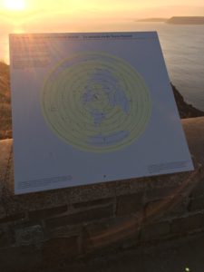
There’s a brilliant information board located on the top of Signal Hill that features a map of the ‘Newfoundland Centered World’. Though partially presented in fun, it is a wonderful reference point where guests gain a better appreciation for St. John’s geographic location, and our proximity to so many major centers.

“… Newfoundland centered world…”
Since most of our visitors hail from central Canada, they often note how much closer St. John’s sits in relation to Britain and New England; marveling at the fact that our capital city is situated almost perfectly equidistant from the Old World and the New.
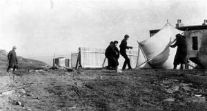
Therefore, this map has also become an important interpretive tool for McCarthy’s Party’s Tour guides to verify the number of “Firsts”, “Lasts”, “Oldest”, and “Longest” distinctions we make here in St. John’s, Newfoundland. The first transatlantic wireless message was received on Signal Hill in December 1901. The first Transatlantic flight departed from Lester’s Field in St. John’s in 1919. Signal Hill is the site of the last battle ever fought between the English and French on North American soil. And St. John’s hold’s fast to its claim as the oldest city in North America.

“Marconi received the first wireless message…”
From a tour operator’s perspective, this map reminds us of the major population centers that lie within the new “Short Haul” distance currently used in the travel world, and the opportunity for us to develop a new tour product we’ve dubbed a
Figuring, if we can tag an extra half hour on our time zone, why not add a few more days to the end of each week. Which is neither a first nor last for many Newfoundlanders who bring a whole new meaning to the concept of “Island Time”
This is a fun and affordable way to visit the vibrant city of St. John’s with no driving, no traffic, no judgement, and no worries.
A first impression that will last forever!

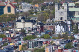
“… oldest city in North America…”

“… largest puffin colony.”

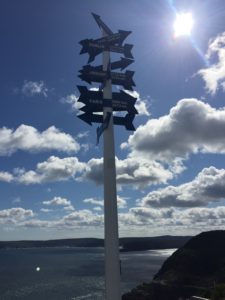
“… equidistant to both worlds…”

